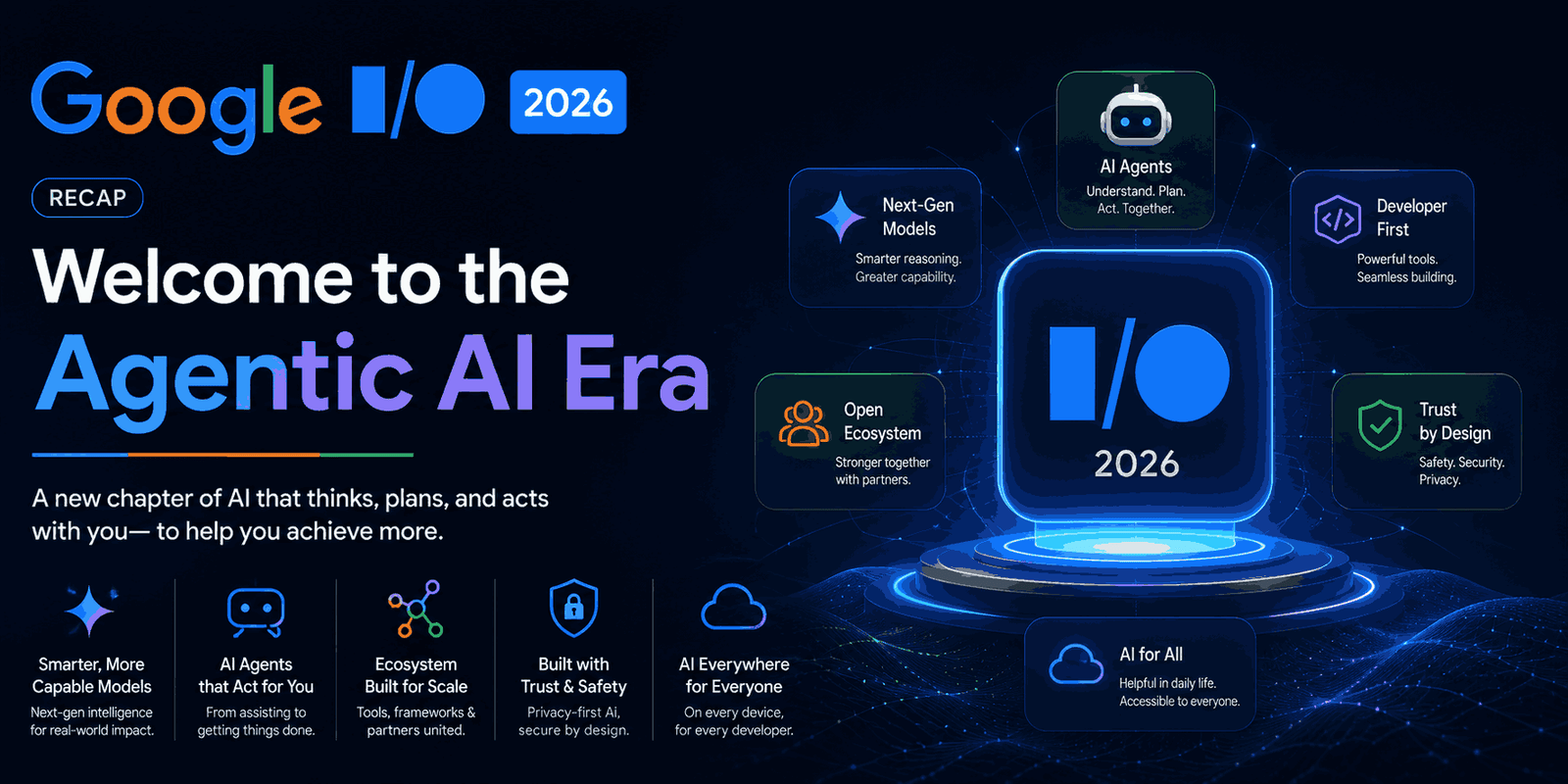
Google Gemini Spark AI Agent: Google’s Big Move Into the Agent-First AI Future
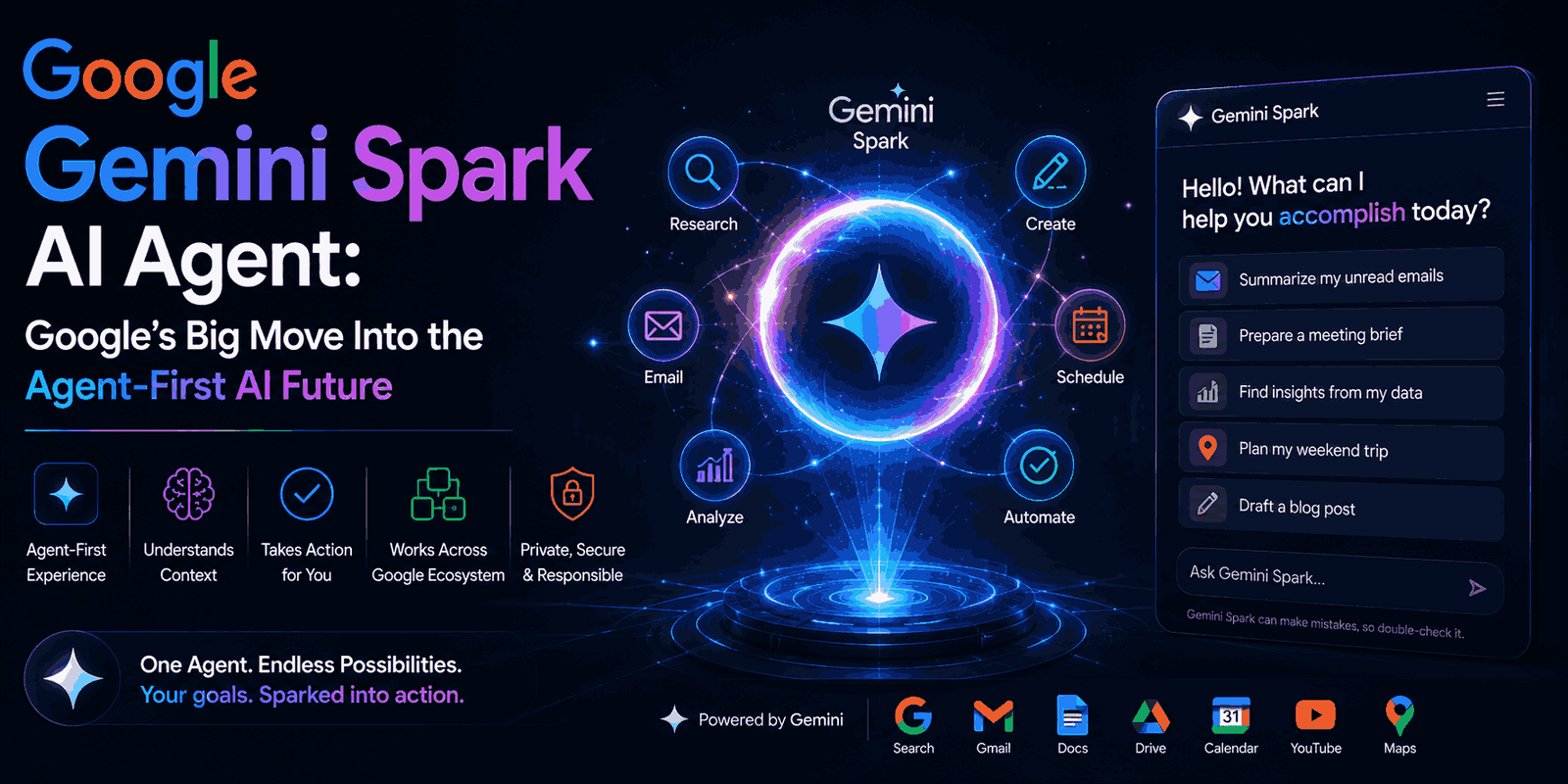
The world of artificial intelligence is moving incredibly fast. New models, agents, and strategies seem to pop up every other week. While many of us had our eyes on Google I/O for their big reveals, the AI scene as a whole keeps changing rapidly. It’s a fascinating mix of innovation, tough competition, and even some … Read more